


Read more
13.04.2025
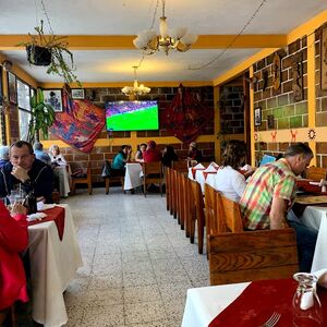
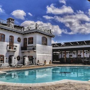
Explore deals, travel guides and things to do in Chichicastenango
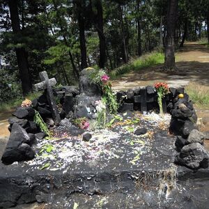
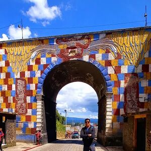
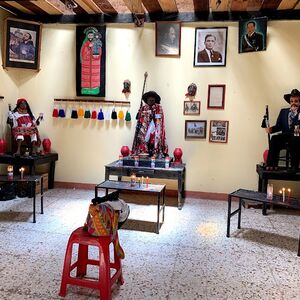
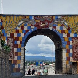
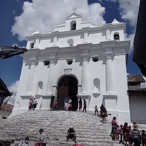
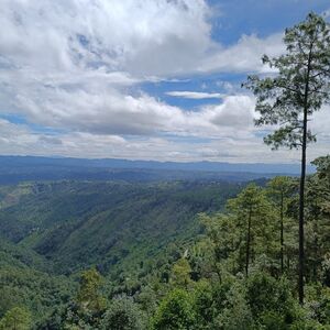
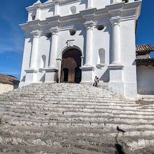
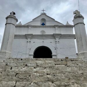
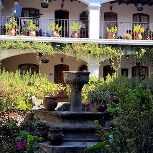
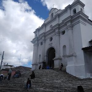
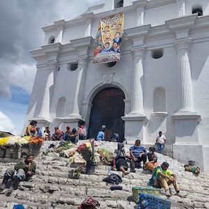
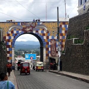
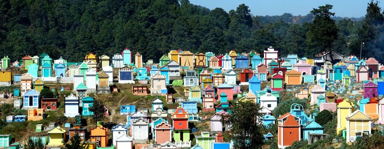
Chichicastenango, also known as Santo Tomás Chichicastenango, is a town, with a population of 71,394 (2018 census), and the municipal seat for the surrounding municipality of the same name in the El Quiché department of Guatemala. It is located in a mountainous region about 140 km (87 mi) northwest of Guatemala City, at an altitude of 1,965 m (6,447 ft). The Spanish conquistadors gave the town its name from the Nahuatl name used by their allied soldiers from Tlaxcala: Tzitzicaztenanco, or City of Nettles. Its original name was Chaviar. Chichicastenango is a K'iche' Maya cultural centre. According to the 2012 census, 98.5% of the municipality's population is indigenous Mayan K'iche. Of the population, 21% speak only K'iche, 71% speak both K'iche and Spanish, and the remaining 8% speak only Spanish.-Wikipedia

Time Zone
GMT -06:00
Currency
Guatemalan Quetzal
1USD = 7.63 GTQ
Best time to visit
June
July

JAN
FEB
MAR
APR
MAY
JUN
JUL
AUG
SEP
OCT
NOV
DEC

Explore the popular activities
Read our blogs and learn more